Col de la Schlucht - La Bresse
Col de la Schlucht
From Wikipedia, the free encyclopedia
| Col de la Schlucht | |
|---|---|

The Col de la Schlucht at the end of winter, March 2006
|
|
| Elevation | 1,139 m (3,737 ft)[1] |
| Traversed by | D417 |
| Location | Haut-Rhin / Vosges, France |
| Range | Vosges Mountains |
| Coordinates | 48°3′50″N 7°1′21.6″ECoordinates: 48°3′50″N 7°1′21.6″E |

Col de la Schlucht
|
|

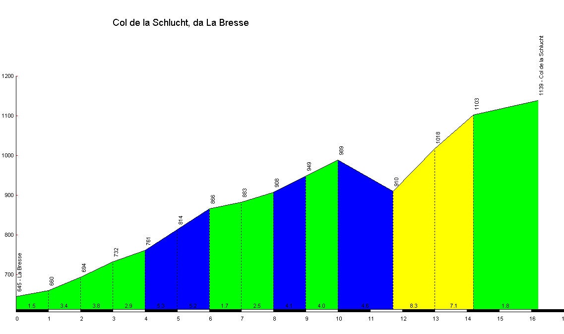
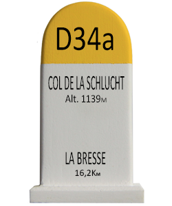
The Col de la Schlucht (elevation 1,139 m (3,737 ft)) is a mountain pass in the Vosges Mountains of France. The pass takes its name from the German word "Schlucht", meaning "gorge" or "ravine". It connects Munster (Haut-Rhin) with Gérardmer (Vosges) (east – west) and is also crossed by the Route des Crêtes (north – south). The climb over the pass has been used several times in the Tour de France cycle race.