Catalogue
Have a look at our elaborated list of road markers and order

Cart

0 items: 0 €
View cart

Joux Plane - Samoens 9 €


W 34mm x D 24mm x H 75mm. +-120gr

Click here if you want an engraved road marker (+ 7€)


Reset

9 €

Add to basket

Col de Joux Plane

From Wikipedia, the free encyclopedia
Col de Joux Plane
Col joux plane.jpg
Col de Joux Plane
Elevation 1700 m
Traversed by D354 road
Location Haute-Savoie, France
Range Alps
Coordinates 46°7′58″N 6°42′41″ECoordinates: 46°7′58″N 6°42′41″E
Col de Joux Plane is located in Alps
Col de Joux Plane
Col de Joux Plane

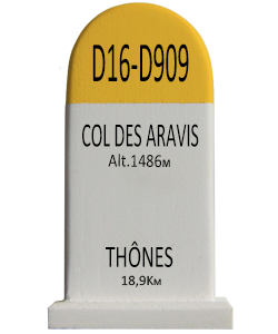
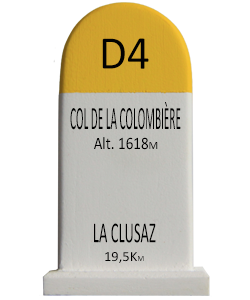
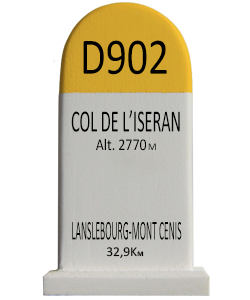
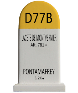
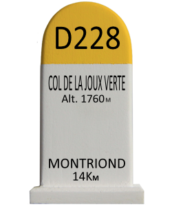
Col de Joux Plane (el. 1700 m.) is a high mountain pass in the Alps in Haute-Savoie, France, linking Morzine with Samoëns. The climb has been featured several times in the Tour de France cycling race

Climb details

  • Starting from Samoëns, the Col de Joux Plane is 11.7 km long with an average percentage of 8.5% and a maximum gradient of 10%.
  • Starting from Morzine, the Col de Joux Plane is 10.9 km long with an average percentage of 6.5% and a maximum gradient of 11%.

Tour de France

Col de Joux Plane has been used a total of eleven times by the Tour de France since its debut in 1978.[1]

YearStageCategoryStartFinishLeader at the summit
1978 17 1 Grenoble Morzine  Christian Seznec (FRA)
1981 17 1 Serre-Chevalier Morzine  Mariano Martínez (FRA)
1981 18 HC Thonon-les-Bains Morzine  Robert Alban (FRA)
1982 17 1 Bourg-d'Oisans Morzine  Peter Winnen (NLD)
1983 18 1 L'Alpe d'Huez Morzine  Jacques Michaud (FRA)
1984 19 1 La Plagne Morzine  Ángel Arroyo (ESP)
1987 22 HC La Plagne Morzine  Eduardo Chozas (ESP)
1991 18 HC Bourg-d'Oisans Morzine  Thierry Claveyrolat (FRA)
1997 15 HC Courchevel Morzine  Marco Pantani (ITA)
2000 16 HC Courchevel Morzine  Richard Virenque (FRA)
2006 17 HC Saint-Jean-de-Maurienne Morzine  Floyd Landis (USA) [n 1]


Related articles