xYour article is added to your cart Click here to go immediately to your cart.
Click here if you want an engraved road marker (+ 7€)
The Grand Ballon (German: Großer Belchen) or Great Belchen is the highest mountain of the Vosges, located 25 kilometres northwest of Mulhouse, France. It is also the highest point of the Alsace French region.[1]
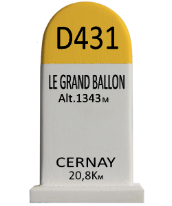
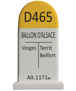
Some still call it Ballon de Guebwiller, after the name of the closest town, Guebwiller, located 8 km to the east. It is 1,423.7 metres high, according to the Institut Géographique National (IGN).
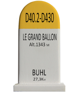
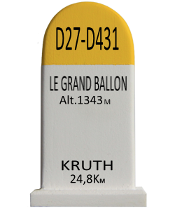
The well known Route des Crêtes (French for "route of the peaks") circumvents the mountain top around east, crossing a mountain pass at an altitude of 1,343 m, between Le Markstein winter sports station and Hartmannswillerkopf, a rocky spur.
The mountain is part of the so-called Belchen System, a group of mountains with the name "Belchen" (in German) that may have been part of a Celtic sun calendar.
9 €
…