xYour article is added to your cart Click here to go immediately to your cart.
Click here if you want an engraved road marker (+ 7€)
Col de la Cayolle (el. 2,326 m) is a high mountain pass in the French Alps at the border between the departments of Alpes-Maritimes and Alpes-de-Haute-Provence in France.
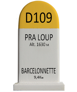
It connects Barcelonnette in the Ubaye Valley and Saint-Martin-d'Entraunes.
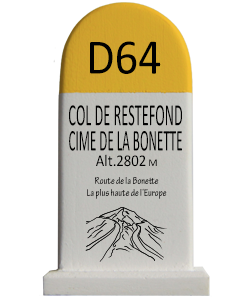
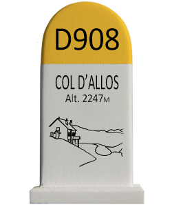
It lies parallel to the Col d'Allos and Col de la Bonette in the Parc National du Mercantour.
The Var River has its source near the pass.
The road leads to the red-rock Gorges de Daluis.
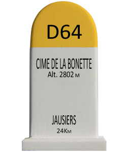
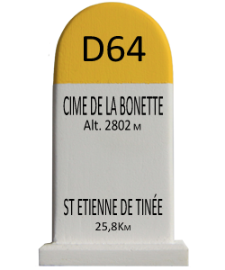
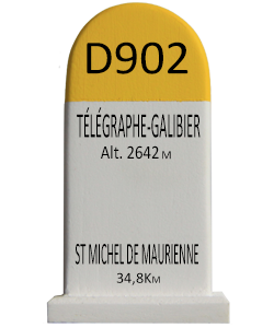
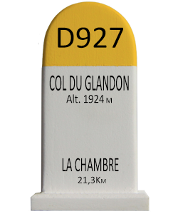
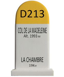
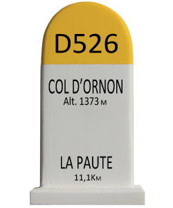
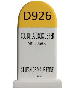
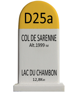
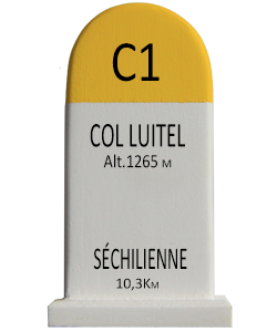
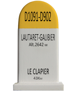
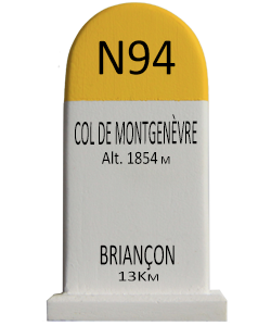
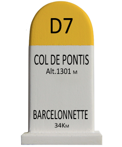
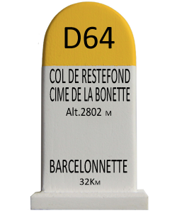
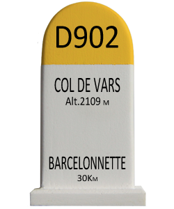
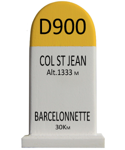
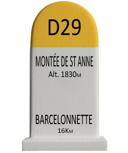
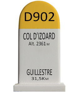
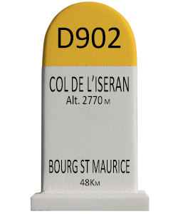
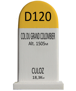
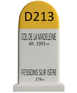
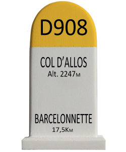
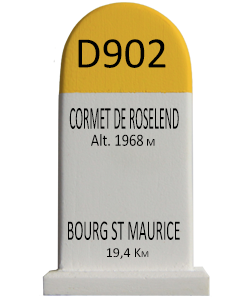
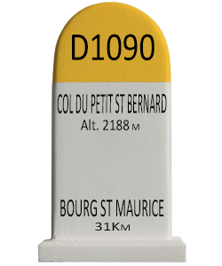
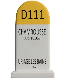
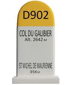
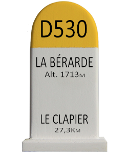
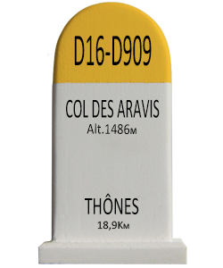
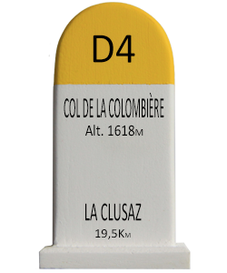
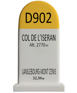
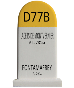
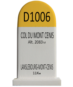
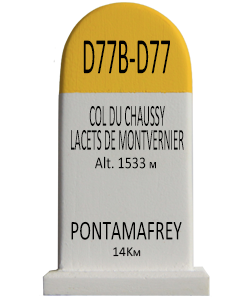
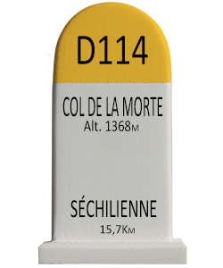
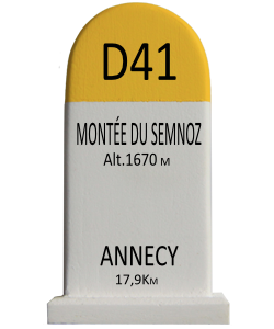
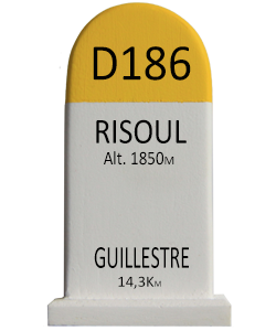
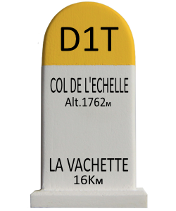
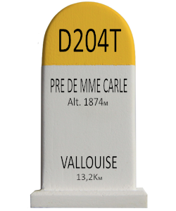
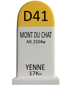
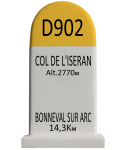
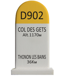
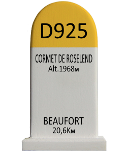
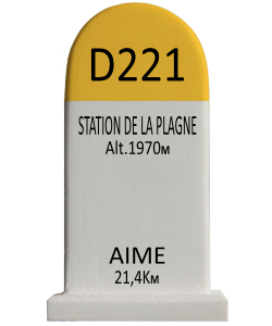
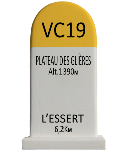
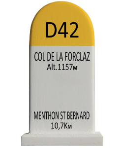
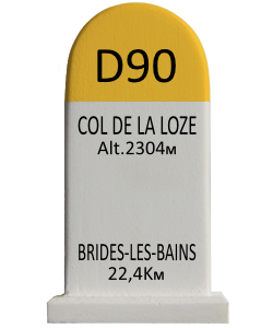
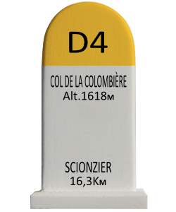
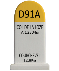
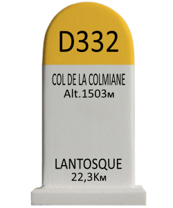
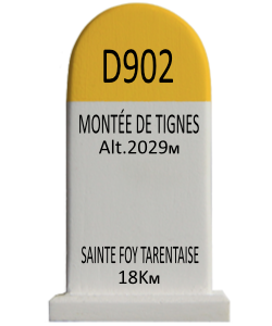
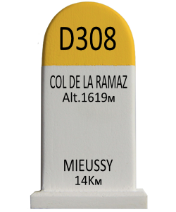
The northern side, from Barcelonette, is 29.15 km long, climbing 1,190 m (3,900 ft) at an average of 4.1%.[1] On this side mountain pass cycling milestones are placed every kilometer. They indicate the current height, the distance to the summit, the average slope in the following passage, as well as the number of the street (D902).
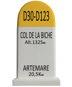
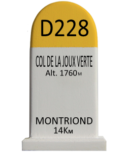
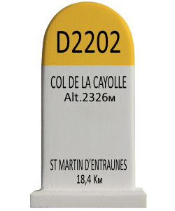
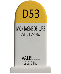
Starting from Saint-Martin-d'Entraunes, the climb is 20.5 km gaining 1,291 m (4,236 ft), resulting in an average of 6.3%.[2] No signposts for cyclists are placed on this side. However, every kilometer a sign indicates the altitude, as well as the distance to the summit (uphill) or the next villages (uphill and downhill).
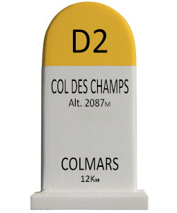
Together with the Col des Champs and the Col d'Allos it forms part of a popular round trip for cyclists (see for example [3]).
9 €
…