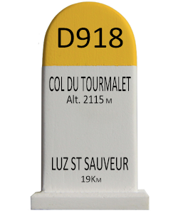
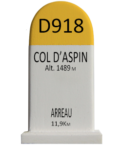
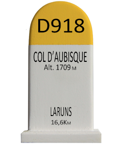
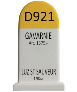
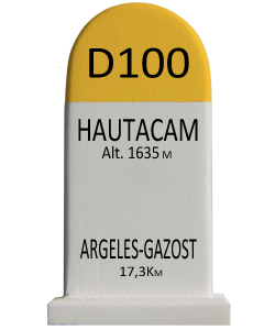
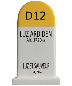
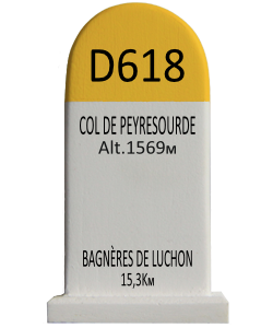
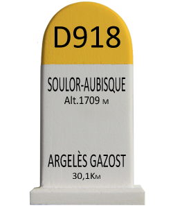
xYour article is added to your cart Click here to go immediately to your cart.
Click here if you want an engraved road marker (+ 7€)
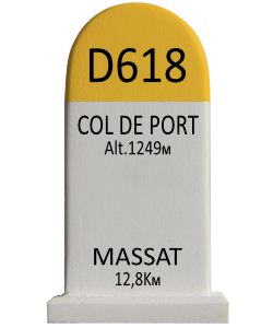
The Col d'Agnes (elevation 1,570 m (5,150 ft)) is a mountain pass in the French Pyrenees in the department of Ariège, between the communities of Aulus-les-Bains (west), Massat (north) and Vicdessos (east).
Starting from Aulus-les-Bains, the climb is 10.2 km (6.3 mi) long. Over this distance, the climb is 826 m (2,710 ft) (an average of 8.1%), with the steepest sections being at 10.6%.[2]
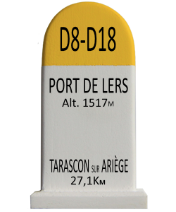
Starting from Massat, the climb is 17.6 km (10.9 mi) long. Over this distance, the climb is 921 m (3,022 ft) (an average of 5.2%), with the steepest sections being at 8.2%.[3] Approximately 4.0 km (2.5 mi) from the summit is the junction with the climb to the Port de Lers.
The Col d'Agnes was first used in the Tour de France in 1988, since when it has featured five times, most recently in 2011, when the leader over the summit was Sylvain Chavanel.[4]
9 €
…